



The warning signs were clear to anyone paying attention, given the numerous consecutive heatwaves, but Copernicus data have now confirmed it: August 2026 has entered the climate record books as the hottest month ever observed globally, tying with July 2023. The month recorded an average surface air temperature of 16.96°C, a remarkable 0.85°C above the 1991-2020 average. But it is the comparison with the pre-industrial era that puts the figure into perspective: global temperatures were 1.65°C above the estimated average for the 1850-1900 period.
It is the first month since November 2025 in which the global average temperature has returned above the 1.5°C threshold relative to pre-industrial levels. A single month does not, of course, amount to a breach of the Paris Agreement’s climate target, which is assessed over much longer periods. Nevertheless, it remains a significant signal, particularly as it follows a summer that brought new records both on land and in the oceans, and comes shortly after the UNEP announced that global temperatures are expected to exceed 1.5°C above pre-industrial levels in the coming years.
Sea surface temperatures also contributed to the exceptional picture. Across the oceans between 60°S and 60°N, excluding the polar regions, the average Sea Surface Temperature (SST) reached 21.07°C, the highest value ever recorded for August and, tying with March 2024, the highest ever recorded for any month of the year. The daily record reached 21.11°C.
“August 2026 was a significant month in global climate history,” said Samantha Burgess, Strategic Climate Lead at the European Centre for Medium-Range Weather Forecasts (ECMWF). “It was both the hottest August and the hottest month ever recorded, with global temperatures reaching 1.65°C above pre-industrial levels, marking the return of global temperatures above 1.5°C. Together with record global sea surface temperatures and the fact that it was the hottest summer ever recorded in Western Europe, these observations show how climate change is driving extreme events in both the atmosphere and the oceans. The impacts of these conditions are increasingly being felt by communities, economies and ecosystems around the world.”
Land and oceans are getting hotter
The August figure takes on even greater significance when viewed against the trajectory of recent months. The June-August 2026 period was the hottest three-month period ever recorded globally, tying with the summer of 2024. This was therefore not simply an isolated peak, but part of an ongoing period of exceptionally high temperatures.
The phenomenon is particularly pronounced in the tropical Pacific, where sea surface temperatures have remained at record levels amid conditions associated with El Niño. According to forecasts reported by Copernicus, the phenomenon could strengthen further in the coming months, potentially developing into one of the most intense episodes ever observed.
It is important to stress, however, that El Niño is not responsible for long-term global warming, which remains primarily driven by the accumulation of greenhouse gases resulting from human activities. It can, however, temporarily amplify global temperatures and alter the distribution of rainfall, drought and other extreme events. In this sense, the current phase is unfolding within a climate system that has already been warmed by rising atmospheric concentrations of CO₂ and other greenhouse gases.
The consequences are also visible beyond the Pacific. High sea temperatures have affected vast areas of the oceans and, in Europe, the Atlantic coast and the western Mediterranean reached record levels for August. But warming seas are not merely an indicator of the state of the climate: higher ocean temperatures can fuel marine heatwaves, place pressure on ecosystems and influence the atmospheric processes that regulate rainfall and circulation.
The European picture was also marked by exceptionally high temperatures. The continent’s average temperature in August was 20.26°C, 1.10°C above the 1991-2020 average. This made August 2026 the fourth hottest August ever recorded in Europe. Looking at the summer as a whole, the continent experienced its third hottest season on record, behind 2024 and 2022.
The most striking figure, however, concerns Western Europe, where summer 2026 surpassed the previous record set in 2003. From May onwards, the region experienced a succession of early, persistent and particularly intense heatwaves, turning what might have been a series of extreme episodes into an exceptional season overall.
Rivers at record lows amid drought
Extreme heat was accompanied by another factor that is becoming increasingly important for Europe’s economy and ecosystems: water scarcity. In August, several areas of Western Europe and large parts of Central and Eastern Europe recorded below-average rainfall. The precipitation deficit was less severe in the west than at the beginning of summer, but intensified further east and south-east.
The problem, however, was not simply the amount of rainfall recorded during the month. In many of the affected areas, surface soil moisture remained exceptionally low as a result of dry conditions that had accumulated over the preceding months. The persistence of drought therefore amplified the effects of new weather anomalies.
France, the United Kingdom, Hungary, Romania and Serbia were among the countries to experience particularly severe dry conditions. In several regions, the combination of high temperatures, water deficits and dry vegetation also helped fuel the spread of wildfires.
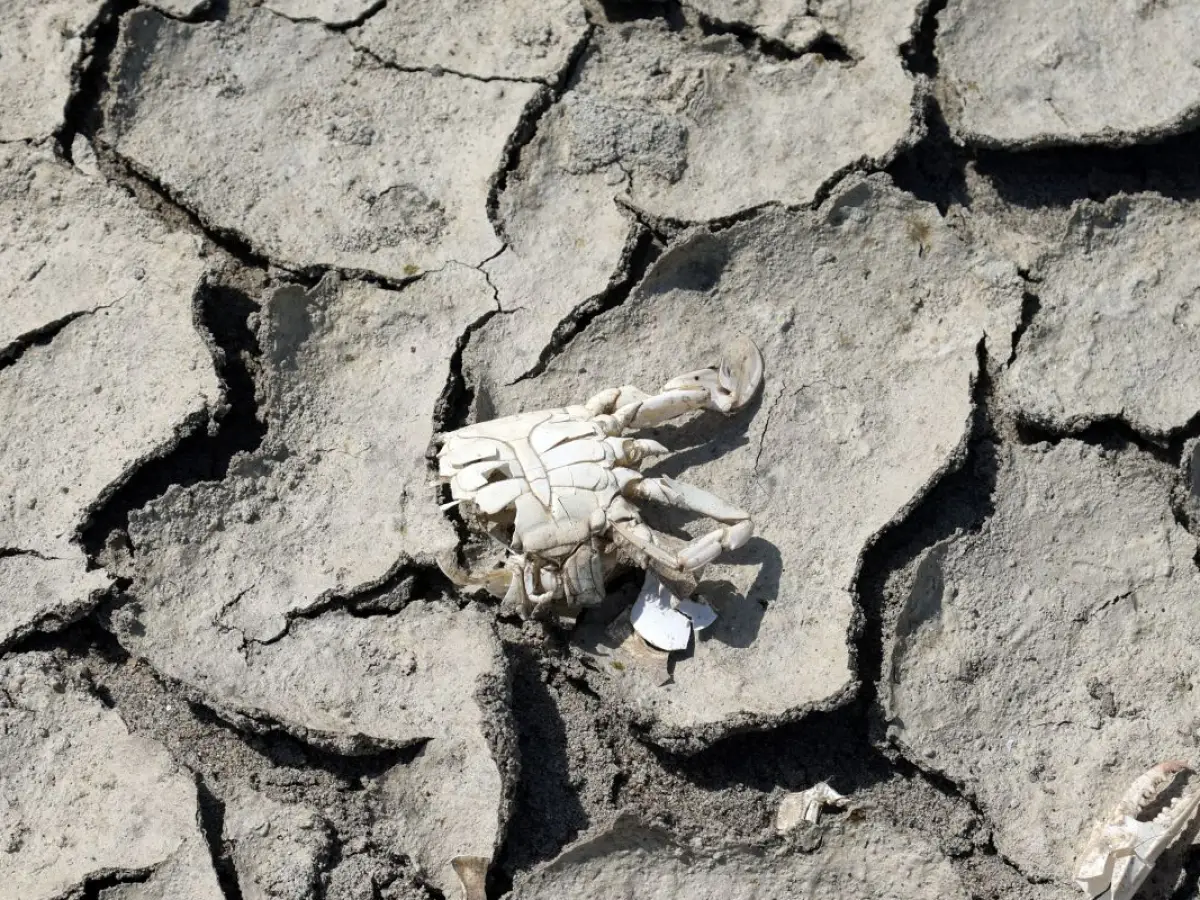
River discharge is a particularly sensitive indicator. Across much of the drought-affected areas, major European rivers recorded exceptionally low flows in August, with the trend extending across the summer as a whole. The Rhine and Danube, as well as the Southern Bug and Dnieper, experienced flows well below normal levels. Similar conditions affected the Vistula, Glomma, Rhône, Seine and Po, which reached exceptionally low levels before a partial recovery following late-August rainfall.
The consequences extend beyond aquatic ecosystems. Reduced river flows can affect navigation, agriculture, water availability and energy production, increasing the vulnerability of regions during prolonged periods of heat.
Rainfall distribution, moreover, was far from uniform. Some areas experienced the opposite conditions, with above-average rainfall and intense precipitation. This was the case in western parts of the Iberian Peninsula, the Alpine region, north-eastern Europe and parts of eastern Türkiye, where the most intense events also caused localised flooding.
Conditions beyond Europe and sea ice under pressure
Outside Europe, August brought similarly pronounced anomalies in several regions. Drier-than-average conditions affected, among other areas, northern Mexico, the southern United States, the Maghreb, parts of the Horn of Africa, Siberia, Central Asia, China, South America, southern Africa and northern Australia. Above-average rainfall, meanwhile, was recorded in parts of the United States and Canada, Alaska, parts of Russia, East Asia, the northern Indian subcontinent and some areas of South America.
Sea ice also remains an important indicator of the climate imbalance. In August, Arctic sea-ice extent ranked as the twelfth lowest ever recorded for the month. The largest reductions were observed in the Russian Arctic sector, north of Franz Josef Land and Severnaya Zemlya. Towards the end of the month, as daily extent approached the seasonal minimum expected in September, the figure still ranked thirteenth among the lowest observed at that time of year.
In Antarctica, conditions were even more anomalous compared with the historical average: August sea-ice extent ranked fourth lowest ever observed for the month, with particularly pronounced deficits in the Amundsen Sea and the Indian Ocean sector. August 2026 is therefore a new climate record, but above all it is another indicator of the tangible consequences of a planet that continues to warm.
Cover: photo by Roberto Brancolini/Fotogramma/Agenzia IPA