


This article is also available in Italian / Questo articolo è disponibile anche in italiano
The world’s hidden water reserves have just been mapped with unprecedented detail. The International Groundwater Resources Assessment Centre (IGRAC) has released the 2025 edition of its Transboundary Aquifers of the World map, a flagship resource that charts underground water systems spanning international borders.
First launched in 2009, the map has become a reference point for governments, scientists, and international organisations working on shared water management. Its newest edition, unveiled this year, represents a significant leap forward: it introduces refined methodology, new thematic layers linked to the UN Sustainable Development Goal 6.5.2 on transboundary water cooperation, and a more accessible design.
426 aquifers mapped worldwide
The update has reshaped the picture of global groundwater. 29 new transboundary aquifers have been identified, 41 existing ones revised, and 91 removed due to insufficient evidence or more precise delineations. The total now stands at 426. For the first time, the map also provides descriptive information for each aquifer – such as type and lithology – available through IGRAC’s interactive online viewer.

A complex but vital task
Unlike rivers or lakes, aquifers remain hidden from view. Mapping them is technically demanding, requiring geological and hydrological data that is often scarce or inaccessible. The 2025 edition draws on around 150 sources, from peer-reviewed science to grey literature, and involved coordination with regional institutions. Guidance was provided by a scientific board under the International Association of Hydrogeologists.
“The difference with surface water basins is striking,” says Arnaud Sterckx, lead author of the map and methodology, to Renewable Matter. “With surface water basins, we don’t have that problem; we know where they are. With transboundary aquifers, it’s completely different. To identify and delineate them, you need data. We are talking about a resource that is underground, essentially invisible, and three-dimensional. You might have several aquifers on top of each other, so you need to develop that 3D understanding of the subsurface.”
“That requires data from wells,” Sterckx adds. “But the issue is that this data is not always available. In many places, there are no wells at all, or wells were drilled but no data was collected, and there is no monitoring. In other cases, the data exists, but is not accessible. It may be considered sensitive, so it doesn’t get shared. If you want to identify transboundary aquifers, you need this data to be shared and available to both countries.”
Collecting more information
The 2025 edition does more than trace new boundaries. It also sheds light on how aquifers and aquifer systems are defined and understood. “That was the second objective of the map’s revision,” Sterckx explains. “The first, as in the past, was to update the aquifer boundaries. But this time we wanted to go further and collect more information, precisely because of the challenges in identifying TBAs. What we have is a map that includes different types of transboundary aquifers.” For example, an aquifer system – such as a sedimentary basin – may contain several interconnected aquifers.
“Sometimes, researchers have been able to identify the individual aquifers within those aquifer systems. So, depending on the availability of information, sometimes it is the transboundary aquifer system that has been identified, and sometimes the individual aquifers. That’s one major difference,” says Sterckx. “Another difference concerns how TBAs are delineated. In many cases, it is based on geological maps. You compare the geological formations on either side of a border and, if they are similar and permeable, you assume there must be a TBA. Often there is little more investigation than that. In other cases, delineation is based on topography, and sometimes on a combination of criteria. That is another way TBAs have been distinguished. We wanted to collect this kind of additional information to make readers aware of those nuances and the challenges in delineating transboundary aquifers.”
Implications for policy and cooperation
Beyond science, the map has clear implications for diplomacy and water governance. It highlights not only where aquifers exist, but also the degree of knowledge available about them. “For policymaking, these two are probably the most relevant,” Sterckx adds. “The first – the level of information – is our own evaluation based on the literature that we reviewed. We categorised it as limited, moderate, or good. This shows where further efforts are needed to reach a good level of knowledge. The second is the comparison with SDG Indicator 6.5.2 reports. Here, we observe some discrepancies between what countries have reported and the information we compiled. This might lead countries to update their reports or trigger further revisions of the map.”
“I think, in terms of future work, there is still a lot to be done in Europe,” Sterckx concludes. “Groundwater monitoring and research is generally well developed in European countries, but there seem to be limited cases where transboundary aquifers were reported jointly. There are similar situations on the other continents, so we will need to continue our efforts in promoting data sharing and cross-border cooperation.”
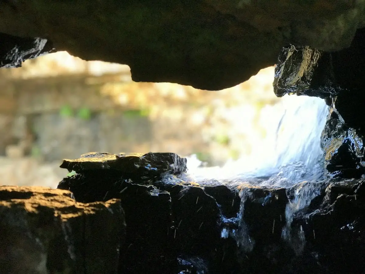
Cover: photo by Vasudha Nagaraju, Unsplash